Public comments in 2021 illustrated the importance of Mill Creek Canyon as a community resource, whether for its natural environment or the recreation opportunity it provides. The Upper Mill Creek Canyon Road Improvements project team will consider the public input to design the project in a way that provides the best balance across different, and often competing, interests.
We Studied Your Comments.
The Federal Highway Administration Central Federal Lands Highway Division (FHWA-CFLHD), USDA Forest Service, Salt Lake County, and Millcreek, are proposing improvements to Mill Creek Canyon Road. The Upper Mill Creek Canyon Road Improvements project begins at the Winter Gate and proceeds east 4.5 miles, passing Elbow Fork, and ending at the Upper Big Water Trailhead.
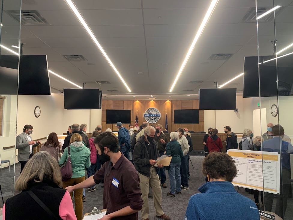
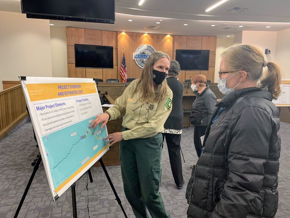
The project's first open house was held on Nov. 9, 2021. From that meeting, and the month following, project partners gathered more than 340 public comments.
We know Mill Creek Canyon is an important community resource, whether for its natural environment or recreation opportunities. Each comment was reviewed, and many fell into one or more of these major themes:
- Resource protection
- Bicycle and pedestrian safety
- Increased speeds
- Parking
- Design element considerations
- Shuttle system or other mass transit options
- Level of environmental review
- Firs cabin owner concerns
- Section 4(f) evaluation
The project team has provided responses to comments and is considering the public input in the project's early design in a way that provides balance across different, and often competing, interests.
Read the full response to 10 key comments. Below is a summary of just five responses to key comments.
Road Widths
The project team took measurements throughout the project area and confirmed that the width of the road changes above and below Elbow Fork.
- Winter Gate to Elbow Fork: the roadway width varies from 18.5 to 25.5 feet, and averages approximately 22 feet.
- Elbow Fork to Upper Big Water Trailhead: the roadway width varies from 11 feet at its narrowest to 23 feet, and averages approximately 17 feet.
To balance different uses and concerns along the road, the project design team is considering different roadway widths and lane configurations as part of the preliminary design. A narrower roadway width typically results in less physical impact on the surrounding environment. However, that comes with tradeoffs for the amount of space for cyclists and drivers.
Comment: The beauty of Mill Creek Canyon and its natural and cultural resources should be protected.
The goal of the project is to develop a solution that strikes a balance between improving access and safety while minimizing environmental impacts.
The team is considering concepts for different roadway widths and lane configurations. As the Canyon increases in elevation, it becomes narrower. So, different options are being explored between Winter Gate to Elbow Fork and Elbow Fork to Upper Big Water Trailhead. Project elements can create both positive and negative impacts. For example:
- Retaining walls reduce the physical footprint of the project but have a high cost with visual impacts
- Drainage ditches and curbs create a wider road but reduce erosion by directing water to specific locations
More will be shared at the May 19, 2022 open house at Millcreek City Hall.
Comment: Bicycle and pedestrian safety are important because of the number of people walking or riding across/along Mill Creek Canyon Road.
Multiple concepts are being developed to find a balance between drivers and cyclists and environmental impacts. The project design team is analyzing concepts that include different roadway widths and lane configurations. A wider roadway gives more space for drivers and cyclists, but it can have greater environmental impacts. Other safety considerations include getting rid of informal parking areas and installing signing and striping.
Informal roadside parking areas often encroach on the road, making it narrower and unsafe for cyclists. Crosswalks could be striped, flashing signs could be installed in high-traffic areas, and warning signs could be placed in areas where drivers, pedestrians, and cyclists may be present.
Comment: A change in parking management is required to improve safety and reduce impacts on natural resources without increasing the overall parking capacity in the Canyon.
The project team is considering options to eliminate informal roadside parking areas that exist and maintain the current overall parking capacity by increasing parking at existing trailheads.
Increasing parking capacity is not a project objective. Informal roadside parking is a safety hazard to pedestrians, cyclists, and vehicles in travel lanes. Informal roadside parking also tends to damage vegetation, cause erosion, and other impacts on natural resources, including water quality. Informal parking areas also typically lead to user-created "spider" trails as visitors hike to their destination from their parked vehicle.
- Moving existing informal parking capacity to redesigned, formal parking areas such as the Big Water Trailhead will concentrate parked vehicles in areas designed to manage and minimize parking-related impacts on natural resources through hardened surfaces, proper drainage, etc.
- Concentrating parked vehicles in specific areas will reduce human impacts, like informal trails, by allowing visitors to park in areas with direct access to formal Forest Service trails and restrooms.
Comment: Widening Mill Creek Canyon Road could lead to increased speeds.
The project design team is analyzing multiple concepts that include a narrower lane width than the 11-foot lanes shared at the public open house. There are tradeoffs, however. As lanes narrow there is increased potential for accidents, including head-on collisions or vehicles running off the road. Drivers also anticipate a consistent lane width and by providing that, the amount of weaving within the lane itself is reduced.
Mill Creek Canyon Road needs to be able to allow for the passage of emergency service vehicles.
- Per the United Fire Authority, their trucks measure 8.5 feet across the front bumper.
- The side view mirrors extend an additional 6 inches on each side of the truck, for a total truck width of 9.5 feet.
In the event of an emergency, first responders need to travel efficiently through the canyon, and in the case of a fire, while canyon users may be evacuating.
May 19 Open House
Project partners will host a second open house at Millcreek City Hall from 4-7 p.m. May 19, 2022 to further review these comments and responses. There will also be:
- A presentation and Q&A
- Descriptions and figures of concepts
- Summary of environmental data gathered to date
- An opportunity to speak with project team members and give more input
For more information on the project, visit https://slco.org/millcreekcanyon.